Highest and best use
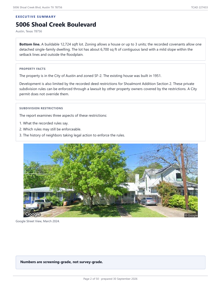
Based on land, zoning, and deed restrictions
A higher standard for Austin parcel reports.
$200 USD
Online ordering opens soon. Contact us
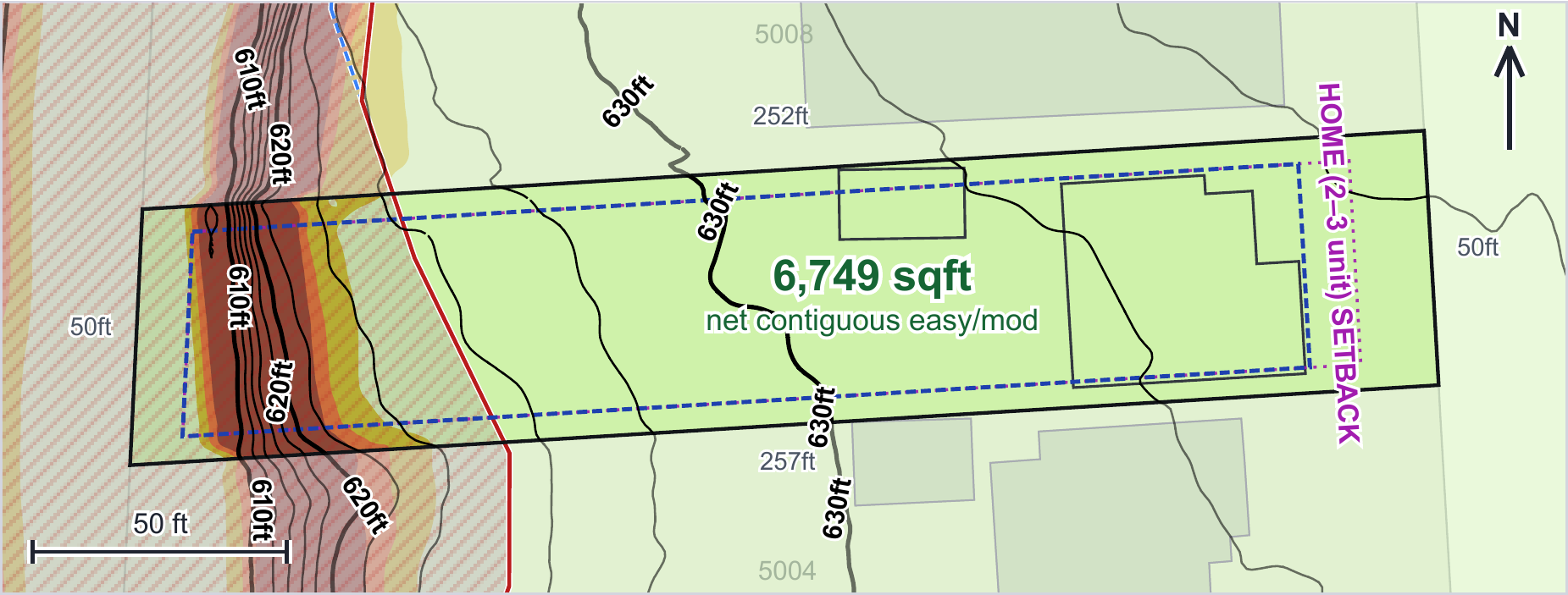
Based on land, zoning, and deed restrictions
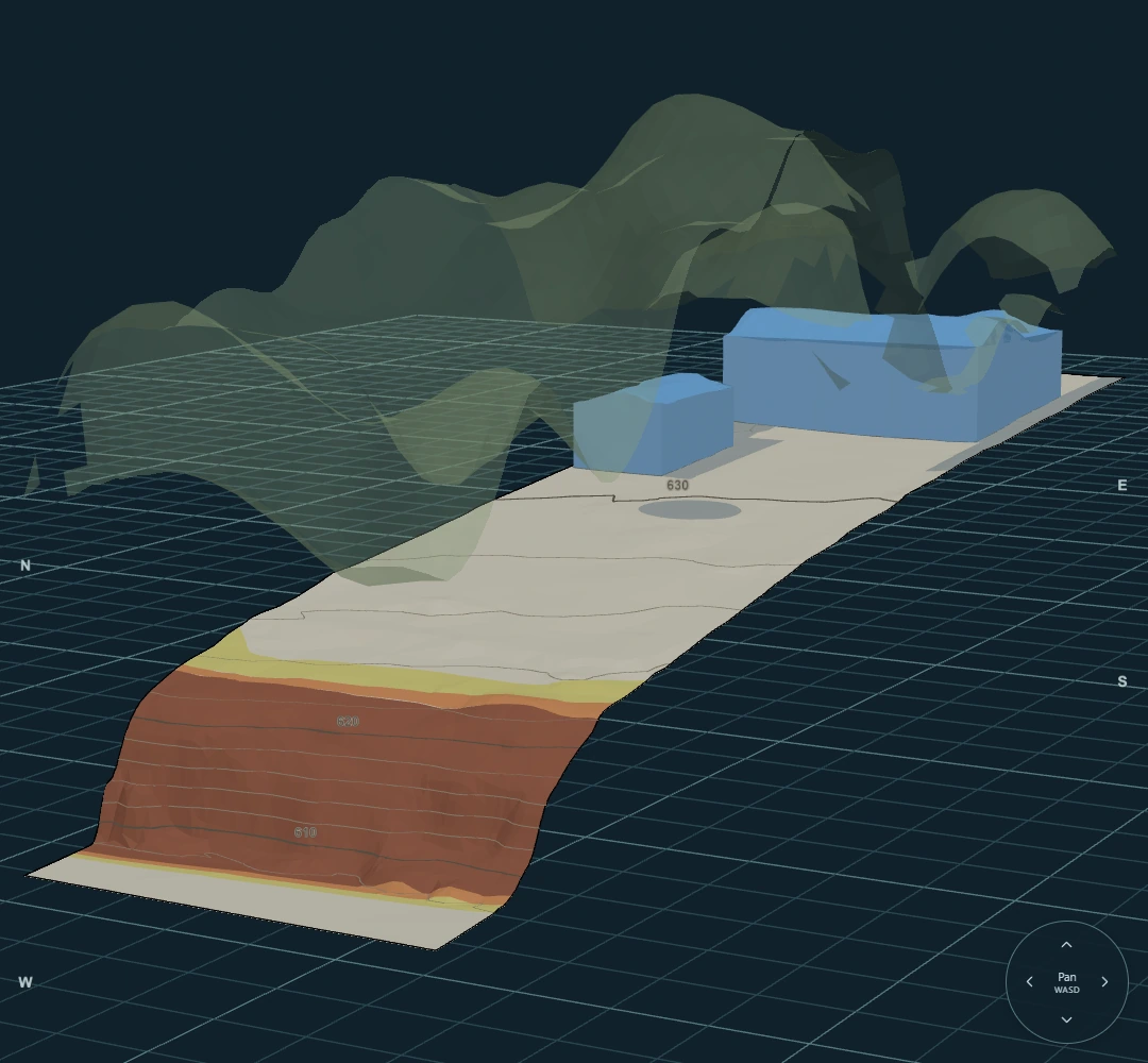
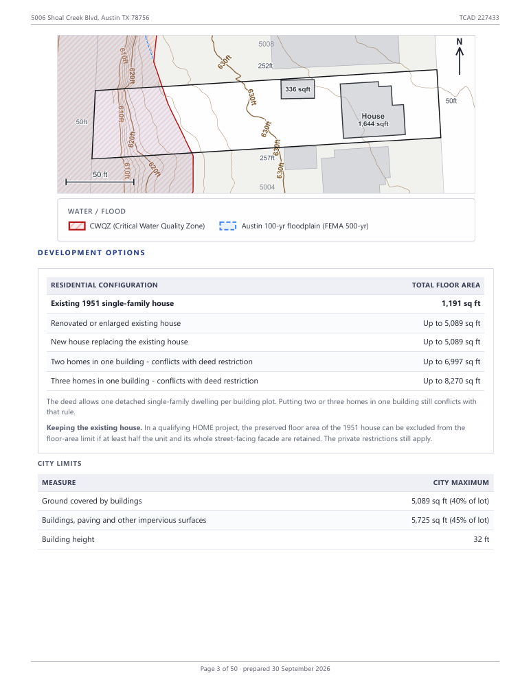
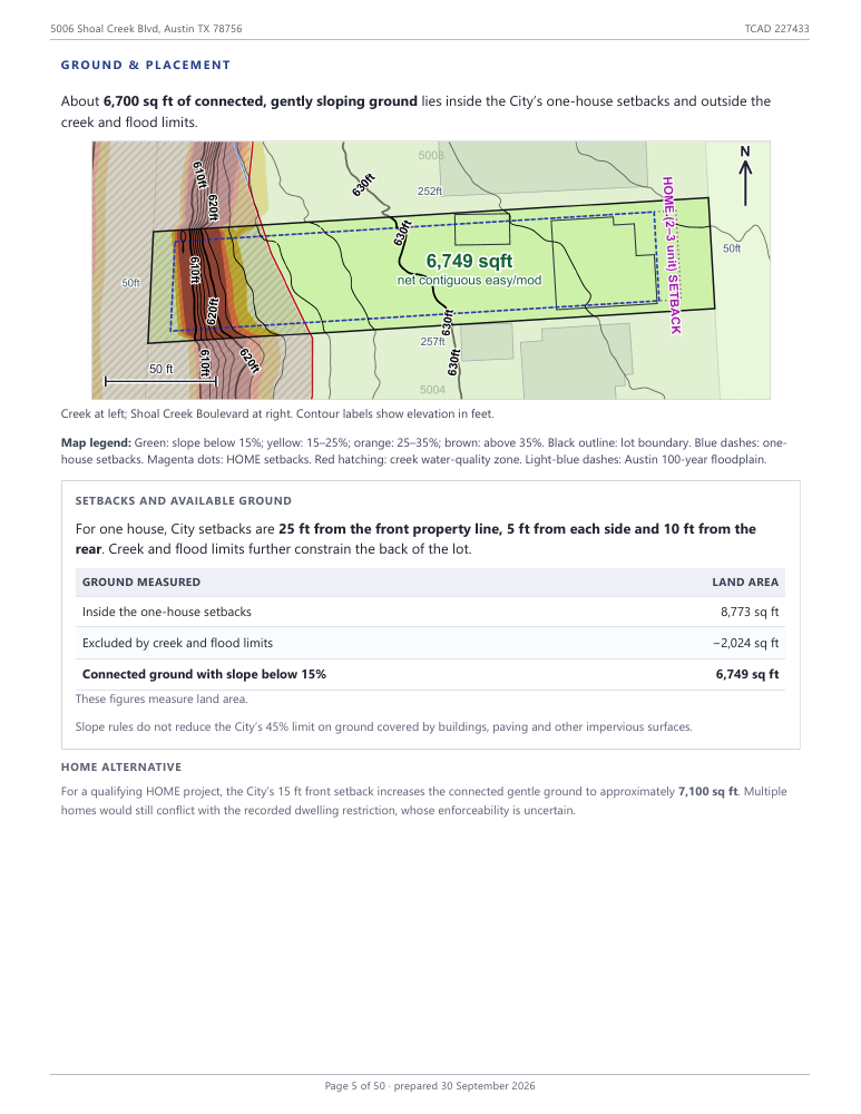
All the parcel layers, with a download file for your architect
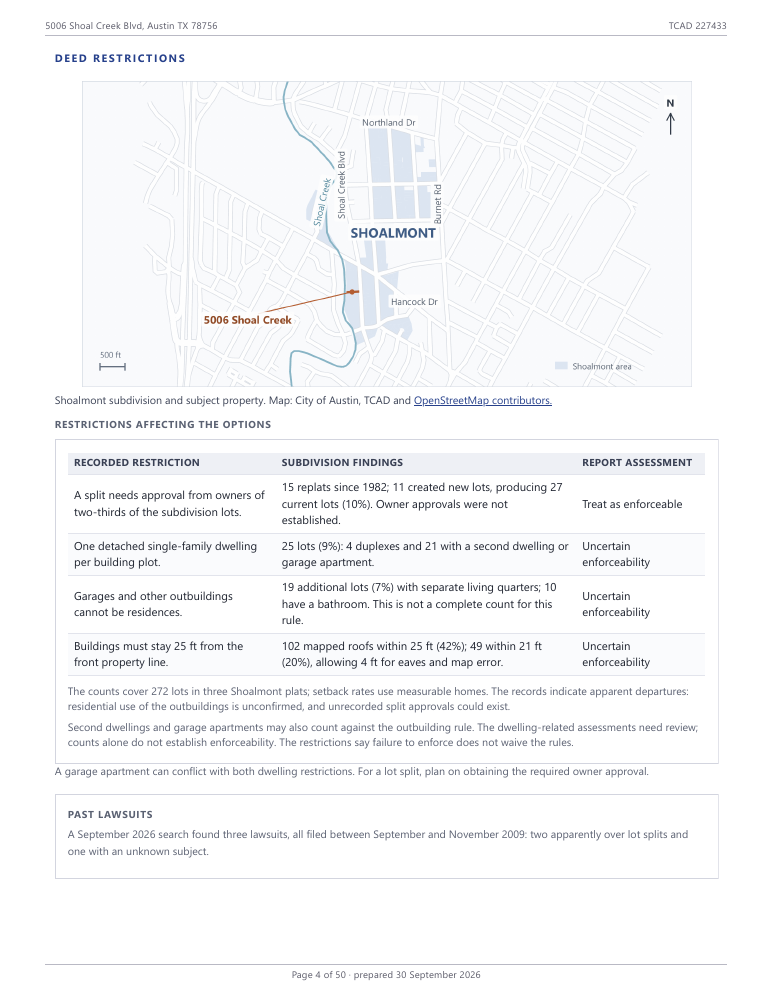
We read and assess to reduce the unknown
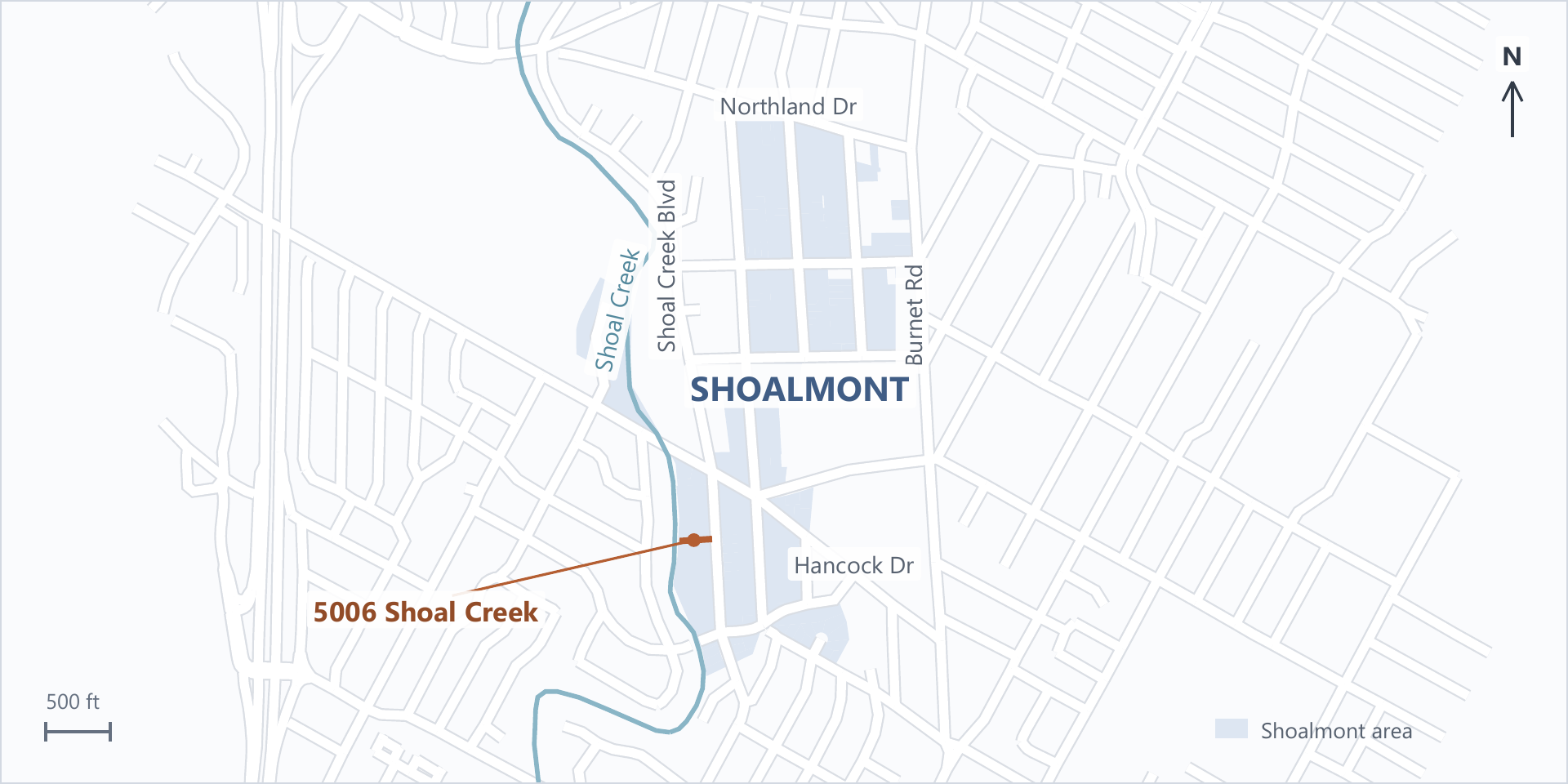
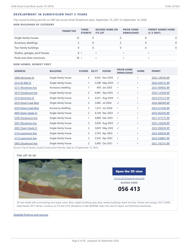
See what others nearby have been doing

Share the summary with clients and advisors
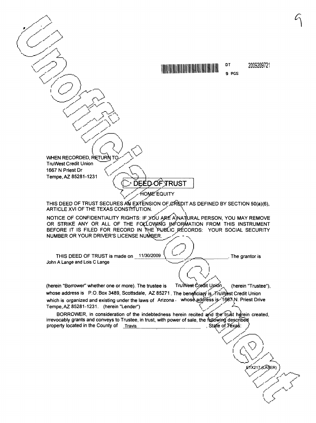
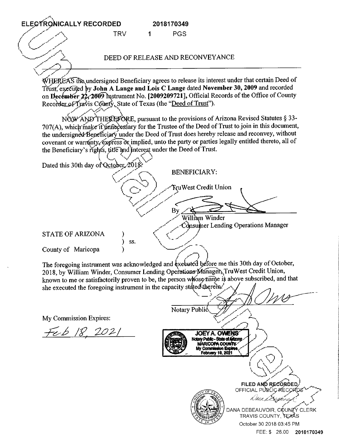
All the available deed files pulled and in an appendix
Lots in the City of Austin, West Lake Hills, Rollingwood and Lakeway, plus unincorporated Travis County within Austin’s extraterritorial jurisdiction (ETJ). We are constantly expanding our research area. So if you have a special request, let us know.
They are unofficial copies for researching recorded property history. They do not replace a professional title examination, title insurance, or legal advice.
It identifies potential constraints and questions to investigate. Estimates need confirmation; the report does not replace a survey, engineering, or official development approval.
An automated workflow combines public records, mapped data, and parcel-specific calculations. Every report receives human review before delivery and identifies sources, assumptions, and unresolved questions.
Online ordering opens soon. For questions, contact us.
Delivery within five business days after payment and receipt of requested parcel details, or ten business days total if special deed-document retrieval is needed. We email the reason and revised due date before the original deadline. Your confirmation states the due date. We email a private link and code; online access lasts 60 days from that email. Download the PDF and supplied 3D files during that period to keep your copies.
Cancel for a full refund before research starts. If we cannot deliver the promised report, we refund your purchase. If delivery is late, you can accept a new date or cancel for a full refund before delivery. We correct confirmed factual or calculation mistakes under the Purchase terms; minor issues do not by themselves qualify for a refund. Read the Purchase terms.
Preliminary research for one confirmed parcel, with human review before delivery. Not a survey, formal title examination, legal or professional opinion, or approval to build.
Placemaking, LLC retains copyright in the report, excluding facts and third-party materials. You may use and share it for the covered property.